GWS® - Global Windmapping Service
GWS® MESO AND GWS® MICRO WINDKARTEN
GWS® provides an overview of the regional and local wind
situation und facilitates making informed decisions on wind energy relevant
topics.
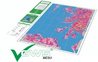
GWS® MESO provides regional wind resource maps at a grid resolution of 2 x 2 km.
The maps are computed using a mesoscale model.
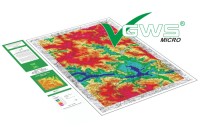
GWS® MICRO provides localized wind resource mapping at a grid resolution of 200
x 200 m for areas up to 30 x 30 km. The maps are based on the GWS® MESO results
and refined using a microscale, 3D CFD flow model.
GWS® wind map products show the wind resources at 60 and 120 m a.g.l. (wind
resources at 50 – 150 m can also be computed).
By request, GWS® MICRO models can also be computed for whole federal states or
regions and provided in digital form (e.g. ESRI shapefiles).
GWS® wind map products are available for most of the world in hard copy and/or
digital form.
The digital GWS®-product:
-
Mean annual wind velocity maps and values
-
Wind power density maps and values (MICRO)
-
Wind and energy roses
-
Wind velocity and energy distribution diagrams
GWS® offers wind resource data at an affordable price – bulk orders are eligible
for discounts up to 15%.
Thus, GWS® provides a cost effective strategic approach to developing wind
energy.
GWS® MESO AND GWS® MICRO WINDKARTEN
An inexpensive source of wind data if
you focus on selected locations.
GWS® MICRO windmapping model inputs can be reused for further AL-PRO certified
or accredited wind reports thus reducing the time and cost of final wind reports.
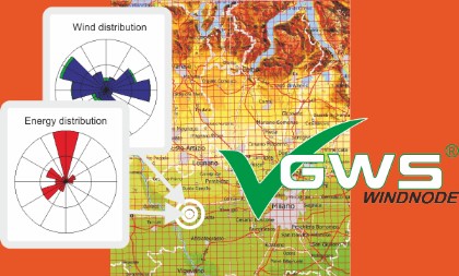
GWS® WINDNODE und WINDDATA provides direct access to information of individual
rastercells of the GWS database.
GWS® WINDNODE provides sectorwise mean annual wind velocity and wind power
density values, Weibull parameters, wind velocity and wind power density
distributions in form of a digital pdf report.
GWS® DATA provides digital meso-scale input data for wind flow simulations,
using standard formats.

service - wind potential
wind data analyseswind potential studies
layout optimization
turbulence determination
fluctuation analyses
performance analyses
monitoring
service - wind measurements
evaluation of wind measurementsLIDAR wind measurements
met tower wind measurements
service - environment
shadow and noise calculationsvisibility studies
visualizations
about AL-PRO
company presentationcontact
canadian office
our team
fairs and conferences
news
download and publications
quality management


